Discover South Wales: An Interactive Map of South Wales
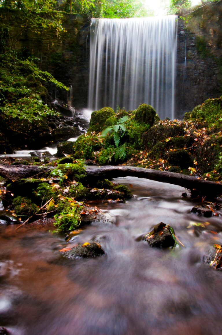
Nestled in the southern reaches of Wales, South Wales is a captivating region where dramatic landscapes meet vibrant urban centers. Geographically, it’s characterised by its sweeping coastline, deeply carved valleys (the “South Wales Valleys” born from its industrial past), and the majestic peaks of the Brecon Beacons National Park. From the rolling farmlands of the Vale of Glamorgan to the rugged beauty of the Gower Peninsula, the area boasts a diverse tapestry of natural wonders.
South Wales is home to some of Wales’ largest and most dynamic cities. Cardiff, the capital city, is a modern, cosmopolitan hub boasting a rich history, impressive castle, and a thriving arts and culinary scene. To the west lies Swansea, Wales’ second-largest city, famed for its beautiful bay and as the gateway to the stunning Gower Peninsula. Further east, Newport offers a blend of historical charm and contemporary developments. Beyond these major urban areas, a network of charming market towns and industrial heritage sites, now beautifully rewilded, dot the landscape, each telling a unique story of this proud nation.
Explore South Wales: Your Interactive Map Guide
Embark on a virtual journey through South Wales with our interactive Google Map! This page is designed to help you discover the region’s top attractions, hidden gems, and plan your perfect itinerary.
How to Use Our Interactive Google Map:
Our map is powered by Google Maps, making it intuitive and easy to navigate. Here’s a quick guide to unlock its full potential:
-
Zoom In/Out: Use the
+and-buttons in the bottom right corner of the map, or scroll with your mouse wheel, to zoom in for more detail or zoom out for a broader view of South Wales. -
Pan Around: Click and drag the map with your mouse to move across the region and explore different areas.
-
View Information: Each key destination is marked with a special pin. Click on a pin to reveal more information, including a brief description, address, and sometimes even photos or links for further details.
-
Get Directions: Once you’ve clicked on a pin and the information box appears, you’ll often see a “Directions” icon (a small arrow). Click this to open Google Maps in a new tab, where you can easily get driving, walking, cycling, or public transport directions to your chosen destination from your current location.
-
Change Map View: In the bottom left corner of the map, you might see an icon allowing you to switch between “Map” view (standard road map) and “Satellite” view (aerial imagery). Some maps also offer “Terrain” view to show elevation.
-
Street View: For some locations, you can drag the “Pegman” (the small yellow person icon, usually found in the bottom right corner or accessible when zoomed in) onto a street to enter Google Street View and get a panoramic, ground-level perspective.
-
Search within the Map: While our map highlights key destinations, you can also use the search bar within the embedded map (if available, typically at the top of the map frame) to look for specific places, addresses, or types of businesses.
Map Of South Wales