Discover West Wales: An Interactive Map of West Wales
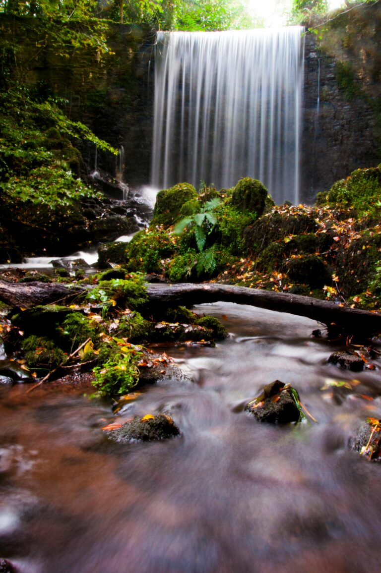
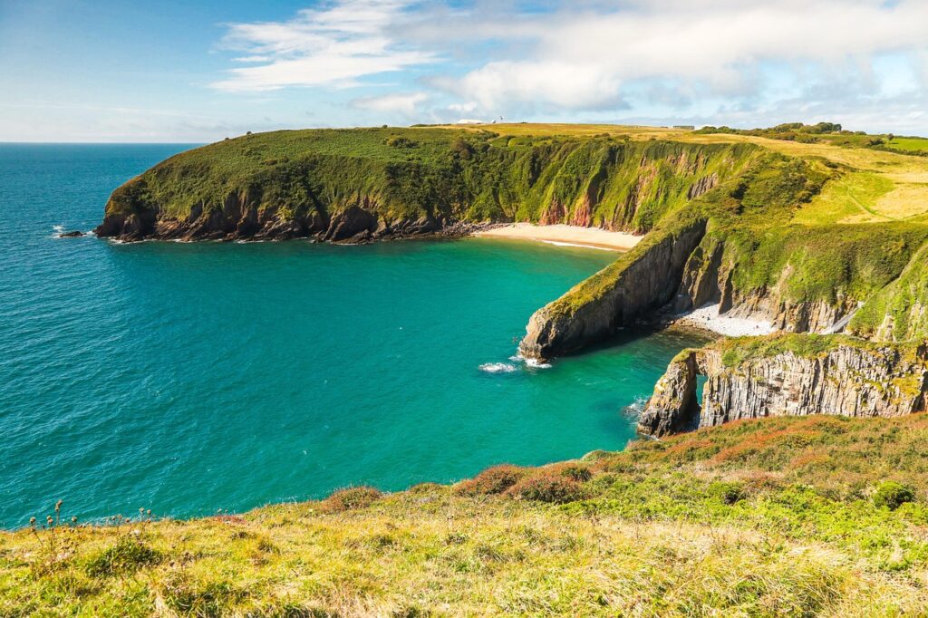
West Wales is a region of dramatic coastal beauty, ancient history, and vibrant culture. Stretching from the Gower Peninsula and Carmarthenshire in the south to the rugged Pembrokeshire Coast and Ceredigion in the north, this area is defined by its stunning coastline, deeply rooted Welsh traditions, and a slower pace of life. Here, you’ll find everything from expansive golden beaches and towering sea cliffs to rolling farmlands and picturesque market towns.
While West Wales may not boast the large metropolises of its eastern counterpart, it is home to charming and historically significant settlements. Swansea, though often considered the gateway to West Wales, offers a lively urban edge with its beautiful bay and proximity to the Gower. Further west, Carmarthen stands as one of Wales’ oldest towns, rich in history and folklore. The smallest city in the UK, St Davids, is a spiritual heartland nestled on the Pembrokeshire coast. Throughout the region, you’ll encounter a tapestry of smaller towns and villages, each with its own unique character, often clustered around ancient castles, bustling harbours, or scenic river valleys. This is a land where Welsh is widely spoken, and the connection to heritage is strong, making it an immersive experience for visitors.
Explore West Wales: Your Interactive Map Guide
Get ready to explore the breathtaking landscapes and captivating attractions of West Wales with our interactive Google Map! This tool is designed to help you navigate, discover, and plan your perfect trip through this enchanting part of Wales.
How to Use Our Interactive Google Map:
Our map leverages the power of Google Maps, making it easy and intuitive to use. Here’s how to make the most of it:
-
Zoom In/Out: Use the
+and-buttons (usually in the bottom right corner) or your mouse scroll wheel to zoom in for detailed views of towns and attractions, or zoom out to see the broader West Wales region. -
Pan Around: Click and drag the map with your mouse to move across the area and discover different sections of the coastline and inland regions.
-
View Information: Each key destination is clearly marked with a distinct pin. Click on any pin to open an information box containing a brief description, address, and often links for more details, photos, or even official websites.
-
Get Directions: Once the information box for a location is open, look for the “Directions” icon (often a small arrow). Click this to seamlessly open Google Maps in a new tab, where you can get tailored driving, walking, cycling, or public transport directions from your current location to your chosen spot.
-
Change Map View: In the bottom left corner of the map, you may find an option to switch between “Map” (standard road map) and “Satellite” (aerial imagery) views, or even “Terrain” to see topographical features.
-
Street View: For a ground-level perspective, drag the “Pegman” (the small yellow person icon, usually found in the bottom right corner or available when zoomed in) onto a highlighted blue street. This allows you to virtually walk around and see what the area looks like.
-
Search within the Map: While our map highlights key spots, you can use the search bar typically located at the top of the map frame to search for any specific address, business, or landmark within the displayed area.
Map Of West Wales